The Old Tokaido
“Tokaido”, the old main road of Japan, originated from the old way connecting Nara, Kyoto, and Kanto area (around Tokyo) 1300 years ago. About 400 years ago, the route was re-designed between Kyoto and Tokyo ranging 487.8 km long, and 53 stations were set on the way. These stations are, needless to say, not stations for trains or buses but for travelers to take rest, eat, and stay overnight. In other words, small downtowns where people flocked around, which fascinated lots of artists such as Hiroshige and Hokusai.

So, what can we tell from these old pictures? We can find the old life of the day, like how people, houses, restaurants, bridges, and even the shape of the land looked like. Now, for example, compare 2 pictures taken (depicted) from almost the same point. It’s so interesting to see the difference between present and past, and also walking along the old path imagining old days.


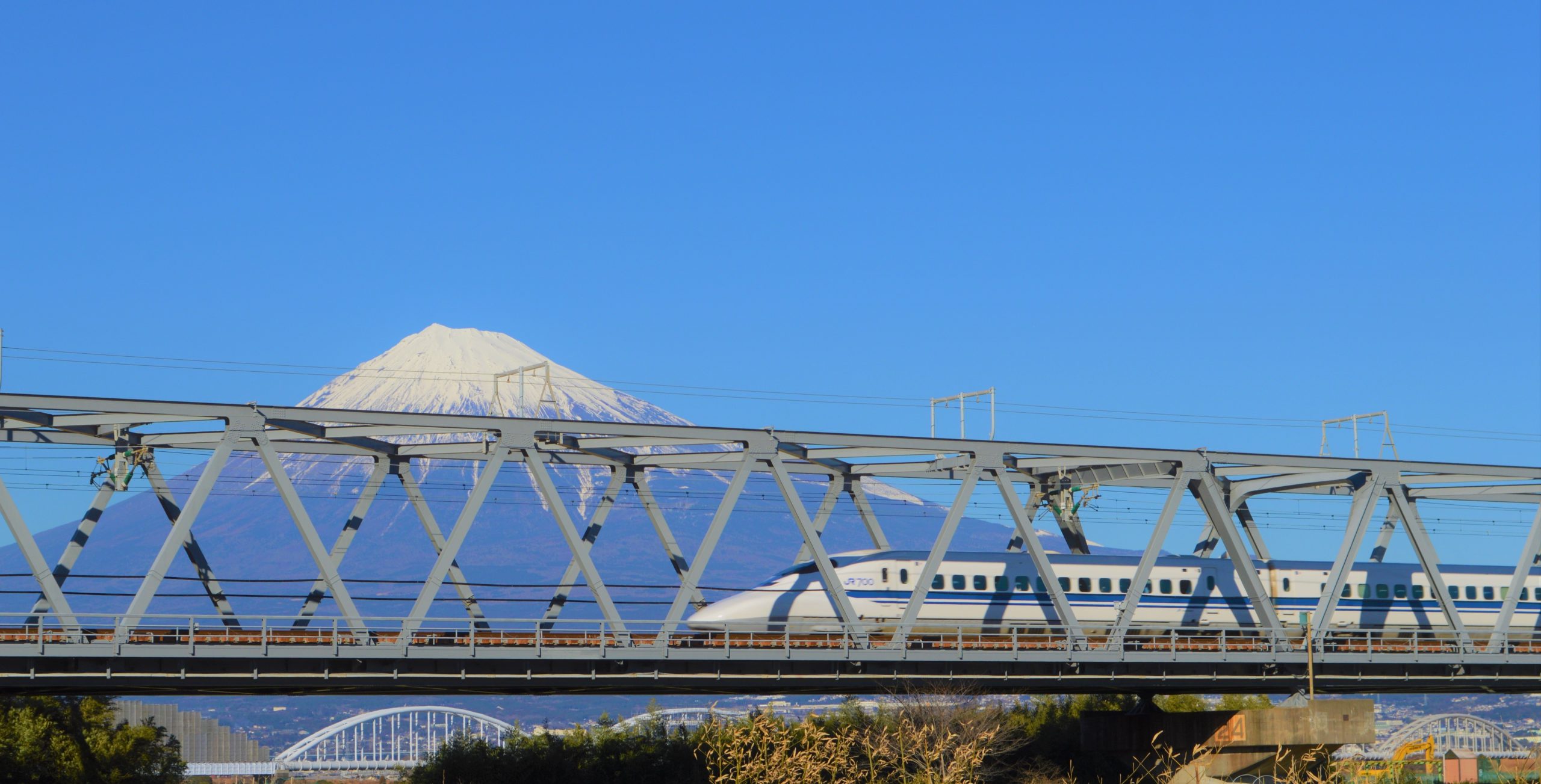
In Shizuoka, there are 22 stations out of 53 and known as the midpoint of Tokaido. Imagine people walking from Tokyo to Kyoto, about 500km on foot. Currently, we can take Tokaido Shinkansen, only about 2 hour distance, but they needed to walk by their own taking 2 weeks. They needed rest and fun on the way. They needed “stations” for them.


Explore us to find them! We will post each station, maybe soon!